 |
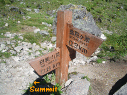
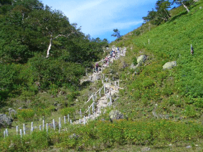
It takes more one hour to reach to the summit.
Elevation 260M to conquer remains, which is quite hard.
|
|
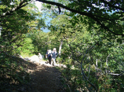
Quite a few trekkers are for the summit.
|
|
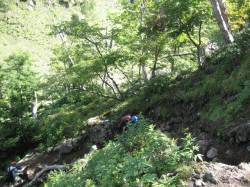
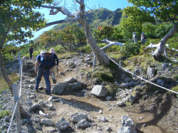
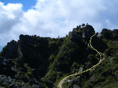
Last continuous steep slope starts here.
Take a break and attack.
|
|
Go up zigzag and see Midaga-ike below.
|
 |
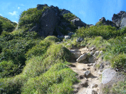
Steep slope and rocks.
|
|
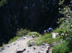
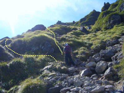
Ropes help your way, but the other side might make your way easier.
A trekker was thinking about which way.
|
|
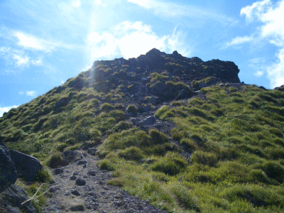
The summit looks very close, but slope is very tough.
Take it easy, step by step!!
|
|
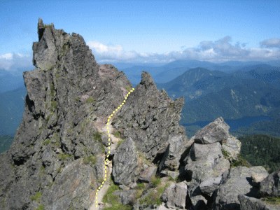
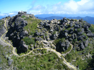
Cross over the big rock through small path as wide as for just one person.
|
 |
The rocks we came over.
|
|
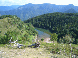
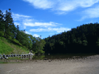
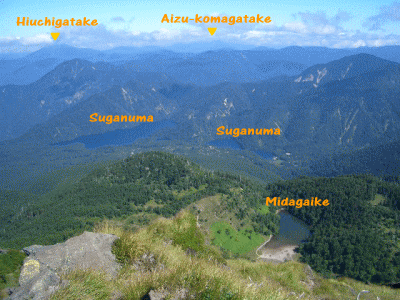
Suganuma is behind Midaga-ike.
Hiuchi-gatake on the left and Aizu Koma-gatake far in the middle are seen.
It is great!
|
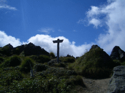 |
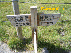
One sign is there, but that is not summit.
|
|
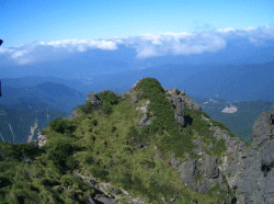
The summit abruptly appears.
|
|
Go down once and up to the summit.
|
|
|