[
TOP]
[
Tohoku Region
]
[
MT.Adatara
][
How to go there
][Accommodation]
[
trail1
][
trail2
][
trail3
][
trail4
][
trail5
][
trail6
]
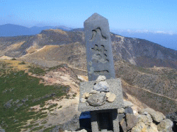
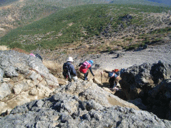
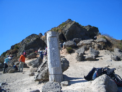
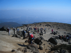
Summit
The summit of Mt. Adatara. Elevation is 1700M.
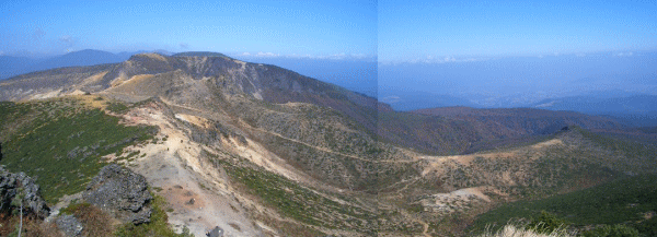
360 degrees panoramic view.
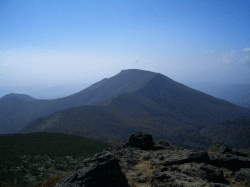
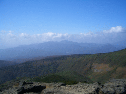
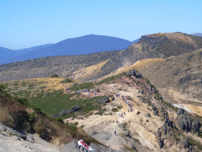
Osho-yama (1625M) is visible on south side.
The trekkers coming from another route, Sennyodaira.
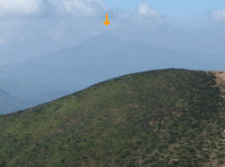
Mt. Bandai is dim on west side.
See the direction of Tetsu-san and Yahazugamori.
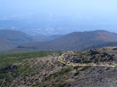
We can clearly see our route behind.
Descend from the summit and go behind the rock to block the wind and then take a peaceful lunch.
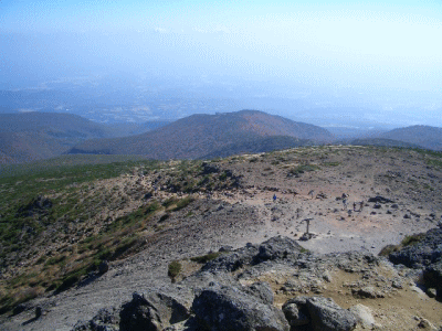
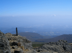
Outskirts of the nipple.
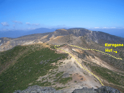
The trekkers toward Tetsu-zan and Kurogane hut looks like the procession of ants.
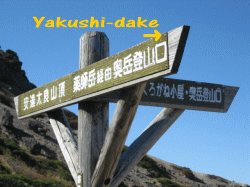
Return route is down to Yakushi-dake.
Copyright(c) TOZAN. All rights reserved.
Base template by
WEB MAGIC
.